
Nine Day Hiking and Campus Visit Trip: Part 3, The Channels, VA
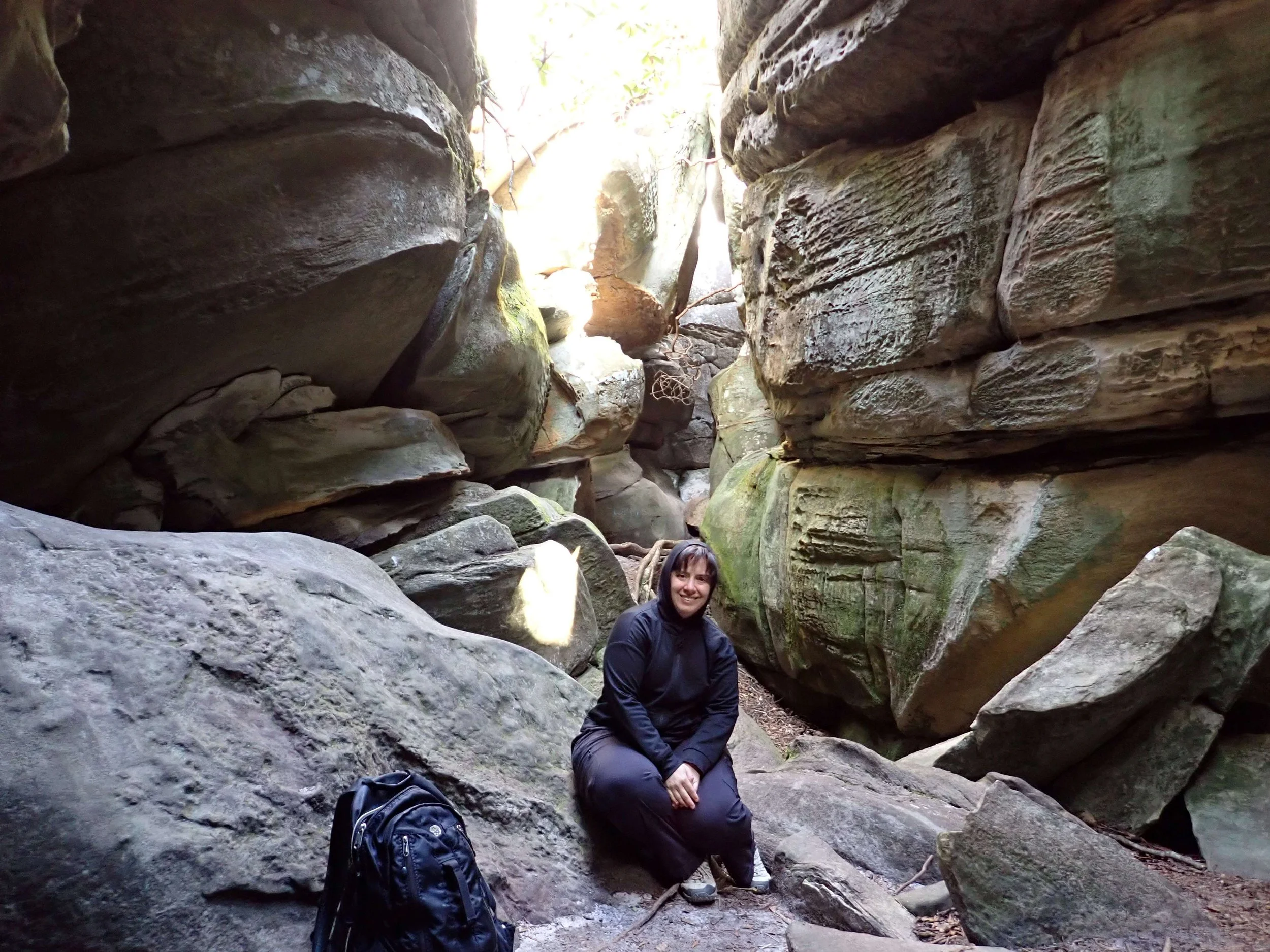
Inside The Channels, VA
CEFR Level B2-C1
Saturday
Events: Hike The Channels, drive to Johnson City, TN
I got up early and made my morning hot cocoa and ate a breakfast bar. I checked the weather and the temperature was predicted to only reach 62 F (16.6 C). I wished I had not swapped out my shirts. I took one long-sleeved shirt from my campus outfits and resigned myself to handwashing it.
TMI Alert
I have reached the age when my body prefers to follow a schedule. That means eating, then waiting 15-30 minutes before my body is ready to act. This fact makes it harder to have quick mornings. I will never be a wake-up and leave in 15 minutes kind of person.
End TMI
After getting ready for the day and packing up, I brought my luggage to the car. I then went inside and used the breakfast bar to fill my mug with hot water. I used my own tea bags (Twinings Masala Chai) and steeped the tea while the night clerk checked me out.
With tea and blueberry muffin at hand, I followed the GPS instructions to The Channels trailhead parking. I arrived at 6:45 a.m. and two other vehicles were in the 10-car lot. The signs were clear that only 10 vehicles are allowed and ticketing and towing is a regular occurrence. Sighing in relief that I had secured a spot, I stepped out into winter cold.
I knew the mountains would be colder and that the temperatures were predicted to be low overnight, but I didn’t account for the wind. The wind!
I took two steps towards the trail, telling myself that I would be fine once I started walking. Sense got the better of me and I turned around to put on the alpaca beanie and fingerless gloves I had purchased at the Southwest Virginia Cultural Center the day before. Normally, it makes my skin crawl to wear something, especially a hat, before I wash it. Today, the wind swept away the ick.
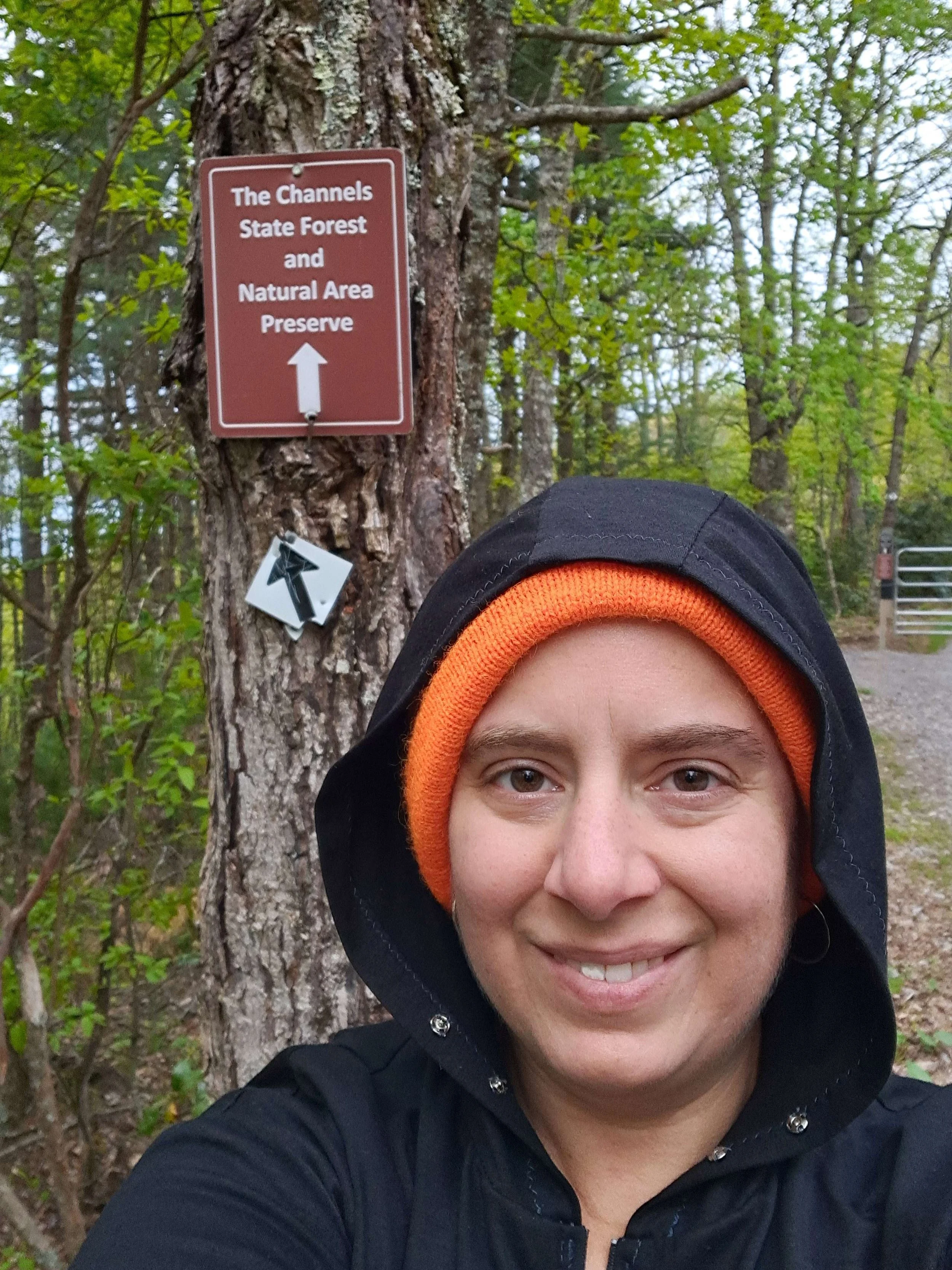
The sign for The Channels trailhead. When I went in May 2026, there was no sign for the parking lot. You just knew you were there because it was a parking lot about where the GPS said it should be.
I slowly plodded up the rocky service road. I have spent the past nine months sitting around memorizing biblical Hebrew vocabulary and verb paradigms rather than taking daily walks with a 30 pound (13.6 kg) pack. My daily exercise has been a stroll with the neighbor. I was out of condition for hiking up mountains.
I knew this before I started and determined to take it slowly. There was no rush. Sunset isn’t until after 8:00 p.m. I had plenty of food and liquid and toilet paper. Still, that relentless upward climb made me miss my former endurance.
I paused often to take photos, partly to rest and partly to document that I was, indeed, on this trail.
It took me 2.5 hours to reach The Channels. People came up behind me and came back down in the time it took me to go up. I felt old and slow.
Near the top, the trail seems to go left. Following this a short ways, it dead-ends at a group of boulders dropping down the hill. Back at the turn, I looked right and up at the fire tower. Everything I found online said to go under the fire tower to get to The Channels, but I couldn’t identify a trail. I decided to scramble up the boulders blocking the way uphill and see what I could see.
At the top of the boulders, I saw a trail leading to the fire tower. Past the fire tower, the trail continues until another intersection where it is difficult to tell what is trail and what is footpaths from people trying to find the trail.
I went left and came to an overlook with a sign and a fence. After taking photos, I returned to the intersection and went right, soon coming to another place where the trail became uncertain. I went towards the tall boulders. When the footpath/trail went between a narrow opening between two of these rocks, I assumed that I had reached The Channels.
I was worried about getting lost, but carefully looked up to keep my bearings with the ridge. I also noted my turns. I soon realized that you can circle most of the boulders (if you’re skinny enough) and that the maze is smaller than I had been led to believe by online accounts. Also, I found that there is more than one exit back to the top trail. There may be a lower trail, but I didn’t explore in that direction. All in all, don’t underestimate the human capacity for getting lost, but also don’t think you’re entering a labyrinth of mythic complexity.
Remember, the exit goes uphill. That alone should help to keep you oriented. Even if you can’t remember which narrow passage is the exit, keep taking the path that goes uphill. That should lead you out and to the main trail.
Additionally, I noticed some chalked or painted arrows. Some places even had words to indicate the way out. All of these were faded and could easily be missed.
The Channels are worth seeing once if you’re in the area, but I wouldn’t plan an entire weekend trip just for the experience.
After leaving The Channels, I stopped to take photos at the fire tower. The area was full of people by then. I wandered over the dead-end trail to a rocky overlook hidden by laurels. A solo hiker was having lunch in the quiet, so I took a few photos, admired the view, and left them to their peace.
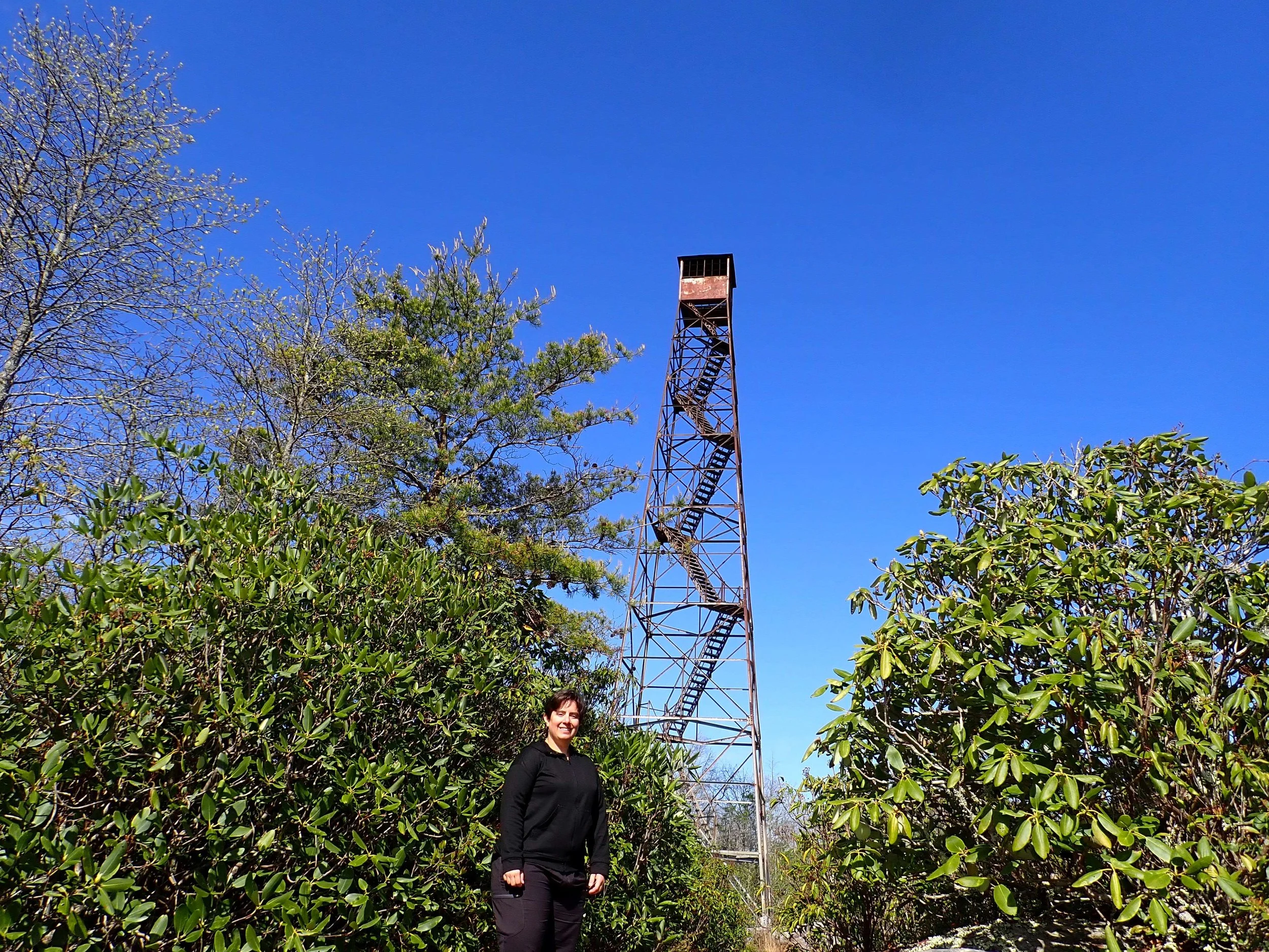
The sun finally warmed things up enough that I could get rid of the winter hat.
The way down killed my feet and knees. The entire trail is rocky. My feet took a beating. My knees are old enough to object to the downhill pressure. My stomach started to hurt. I had had my fun. It was time for this hike to be over. I stopped less often than coming up, but it still took me a little over 1.5 hours to get down.
At the trailhead, a forest service truck with someone in it was parked in the shade, watching the parking lot. It was about 12:15 and only one parking spot was open. My leaving made two open.
On to Johnson City, TN
The GPS indicated that it was half an hour to the nearest coffee shop. I didn’t want a beverage so much as I wanted a flushing toilet. The steep mountainside didn’t give space for peeing behind a tree and the many hikers made a trailside squat risky.
On the drive, I saw a tiny public library and swerved into the parking lot. Thankfully, they were open. It’s embarrassing to ask if they have a public restroom and then not come out for 15 minutes, but sometimes, the body’s gonna do what the body needs to do. I was glad I hadn’t risked a trailside pee. The library had a can of sanitizing wipes on a storage cupboard, so I used one to wipe down the toilet in order to get the clean scent in the room. I will say, the restroom was cleaner and more spacious than any coffee shop I’ve been to. Clean, free public restrooms that are open on weekends and evenings are one of the under-sung amenities of public libraries.
With stomach, knees, and feet relieved, I made the 1.5 drive to Johnston City, TN.
I stayed at the Sleep Inn. It was clean, quiet, and comfortable. I would stay there again. I do wonder who designed the bathroom, though. The toilet and shower are in a separate room from the sink. That’s not uncommon, although I find it inconvenient. My problem was the space between the shower door and the toilet. I’m relatively small and had to do some maneuvering. I imagine it would be challenging for an adult helping a child, for someone using a walker or cane, or a much larger person. Plus, the shower door has gaps above and below. It’s impossible to not get water on the floor all the way to the toilet. I suspect that if a person taller than me washed their hair, then water would splash over the door and wet the toilet paper.
After checking in, showering, and handwashing all my worn clothes, it wasn’t even 4:00. My hiking backpack has been well-used. It still functions, but parts are broken and I’ve grown too wide for the waist straps that I shortened when I was thinner. Google Maps showed a Sierra store nearby, so I went to investigate.
I tried on daypack after daypack. None had all the features I wanted. The ones with the most desired features were obnoxiously long in the back. I even decided that I had no budget if the perfect pack appeared. It never did. Eventually, I decided on a 22L Teton pack that was within my original budget and was the best I can hope for in back length. I didn’t want the integrated hydration pouch, but I can use that pocket for printed maps, my laptop, and other thin things. I used this bag for my on-campus days.
I went to Project BBQ for supper. I had the Porker Sammy and fries. The pork wasn’t thoroughly warm. Otherwise, the meal and ambience was solid. Nothing to rave over. Nothing to complain about.
Back at the hotel, I continued working on the work that I was supposed to finish before Friday. Before sleeping, I watched a 45-minute episode of Columbo that was dragged out to 90 minutes.